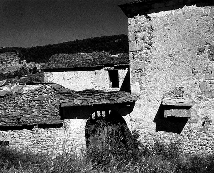
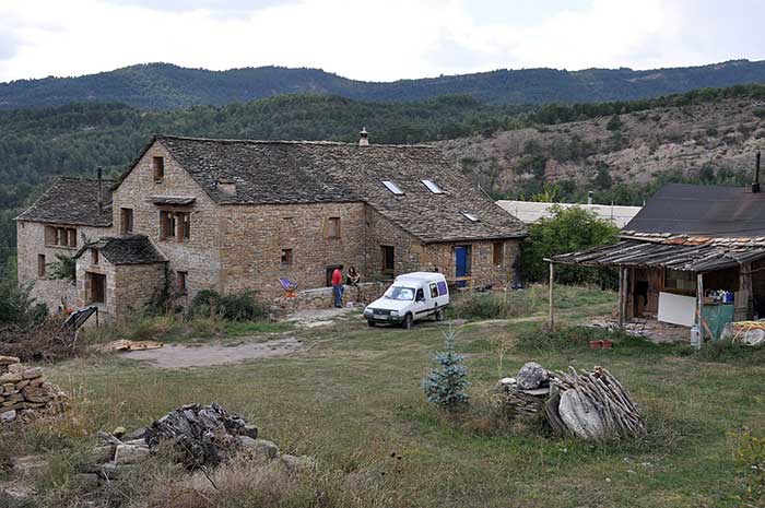
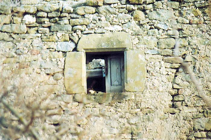
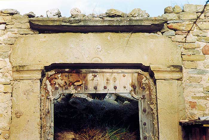
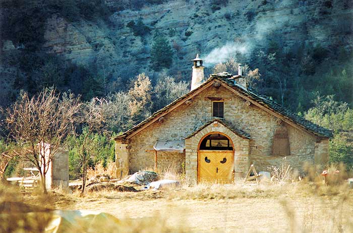
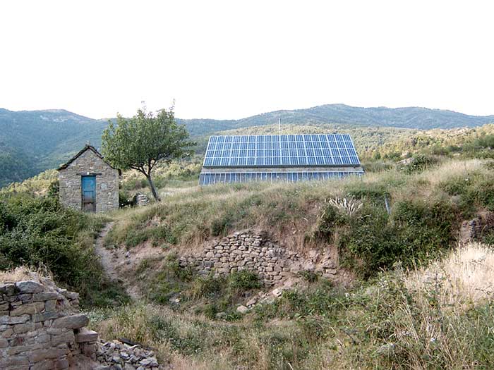
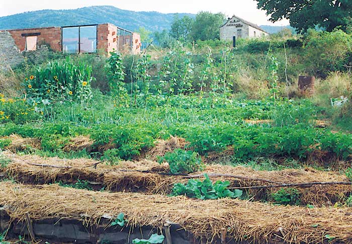
Artosilla es una antigua aldea situada en el municipio de Sabiñánigo (Huesca, España). Propiedad del Gobierno de Aragón, en 1986 fue cedida, junto con las aldeas de Aineto e Ibort, a la Asociación Artiborain, con la intención de reconstruirlas y repoblarlas. Anteriormente había sufrido más de dos décadas de abandono, olvido y deterioro. La visión inicial de los nuevos pobladores era reconstruir totalmente el pueblo y recuperar un patrimonio cultural que se estaba perdiendo. Posteriormente se han ido añadiendo otros elementos a esta visión, relacionados con la bioconstrucción, la agricultura ecológica, la simplicidad voluntaria y, en definitiva con una forma de vida más sostenible en la línea del movimiento de las ecoaldeas. Desde hace algún tiempo Artosilla forma parte de la Red ibérica de Ecoaldeas (RIE).
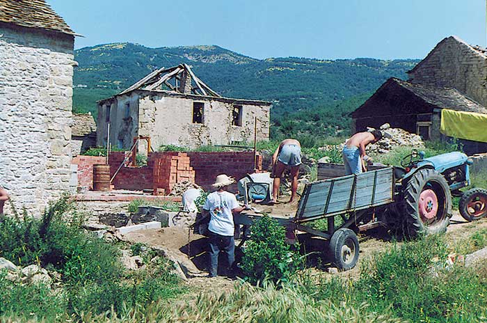
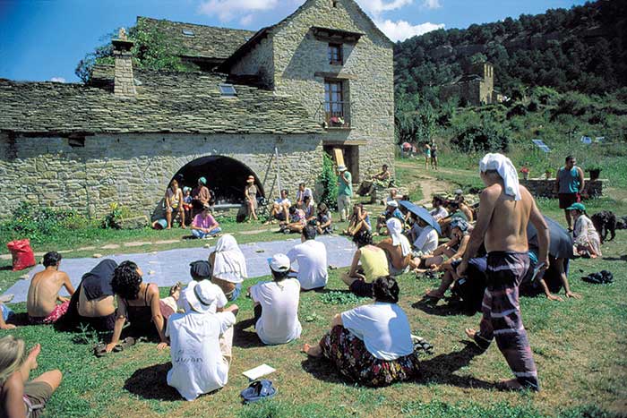
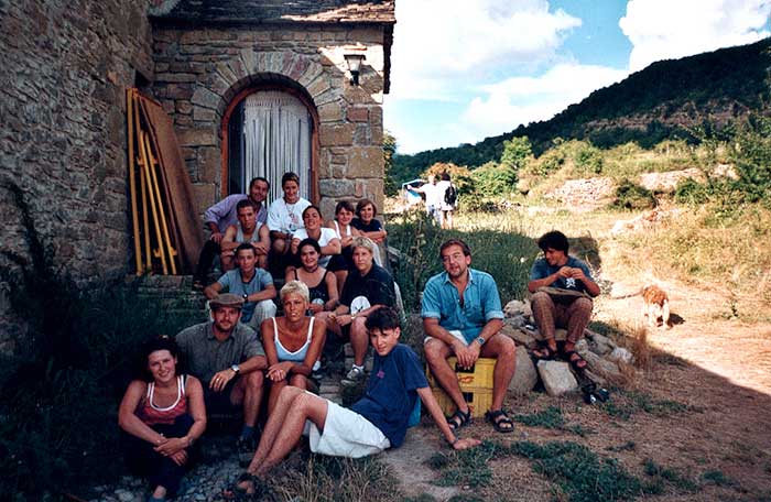
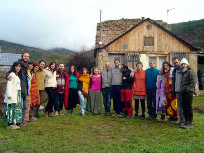
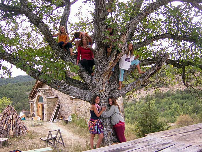
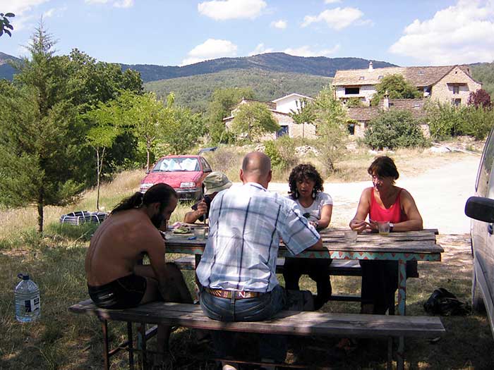
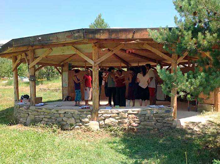
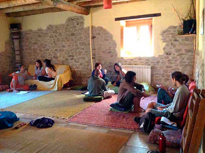
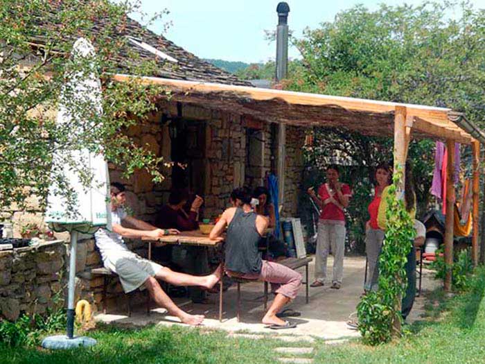
Después de muchos años de trabajo, de haber invertido mucho tiempo y dinero, y con la inestimable ayuda de voluntarios y amigos que han colaborado voluntariamente en este proyecto, se han reconstruido casi todas las casas, y en ellas viven unos 20 adultos y varios niños. La meta es reconstruir completamente el pueblo y que nuevas familias vengan a vivir a él, a la par que avanzamos en nuestro proceso de ser una verdadera ecoaldea.
Después de muchos años de trabajo, de haber invertido mucho tiempo y dinero, y con la inestimable ayuda de voluntarios y amigos que han colaborado voluntariamente en este proyecto, se han reconstruido casi todas las casas, y en ellas viven unos 20 adultos y varios niños. La meta es reconstruir completamente el pueblo y que nuevas familias vengan a vivir a él, a la par que avanzamos en nuestro proceso de ser una verdadera ecoaldea.

Artosilla is an old hamlet situated in the municipality of Sabiñánigo (Huesca, Spain). As the property of the Regional Government, in 1986 it was handed over to the Artiborain Association to be reconstructed and repopulated together with the villages of Ibort and Aineto. Prior to this it had suffered two decades of abandonment, neglect and disuse. We came to inhabit this hamlet with the intention of reconstructing it and recovering a cultural treasure that was in the process of being irretrievably lost. After many years of work and after investing a great deal of our time and slender financial resources in the village, and with the invaluable help of many friends voluntarily collaborating in the project, we have succeeded in reconstructing most houses, where over 20 adults and several children are now living. Our intention is to reconstruct the village in its entirety so that new families can move in while advancing in becoming a real ecovillage.
How to get there
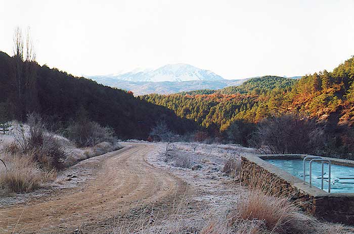
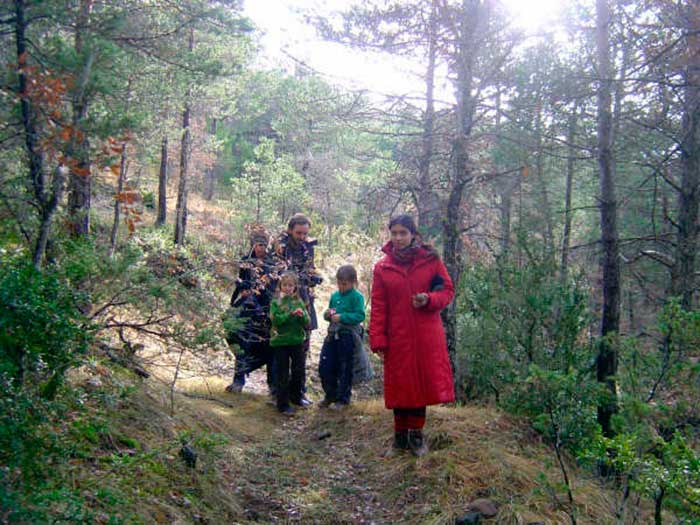
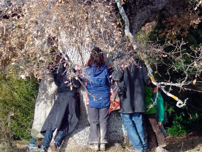
Artosilla is a small hamlet in the foothills of the Pyrenees which was abandoned in the sixties. At a height of some 1000 metres, it is located on the southern slope of the Sierra del Portiello. To the north of the sierra is the valley of the River Basa, and further north the central Pyrenees, with the Tena Valley and the Ara Valley. To get to the village, you have to follow the valley of the River Guarga in the direction of Boltaña (roughly 13km of mountain road), before taking a smaller track for a further 4km. Looking southwards from Artosilla, the view takes in the Peña Guara, at 2200m the highest point of the Pyrenean foothills. The surrounding area offers a magnificent landscape and has recently been declared a Natural Park. The current vegetation is largely made up of reafforested pine, although in certain areas there are still some oaks from the original woodland. See map aside.
Cómo llegar
Artosilla es una pequeña aldea del Prepirineo aragonés que fue abandonada en los años 60 del s. XX. Situada a 1000 m sobre el nivel del mar, se halla en la ladera sur de la Sierra del Portiello. Al norte de esta sierra se halla el valle del Basa y más al norte los Pirineos Centrales, con el valle de Tena y el valle del Ara. Para llegar a Artosilla, tienes que recorrer el valle del río Guarga siguiendo la carretera antigua de Sabiñánigo a Boltaña, hasta que en el km. 13 aparece un desvío que, tras una pista de 4 km lleva al poblado. Desde Artosilla, mirando hacia el sur surge imponente Peña Guara, que con sus 2200 m es el pico más alto del Prepirineo. El entorno de Guara es de una belleza incomparable, bastante salvaje, sin apenas población. Hace años fue declarado Parque Natural. La vegetación de la zona es en su mayor parte, pino de reforestación, aunque todavía son visibles pequeños robledales de bosque nativo.
Artosilla es una pequeña aldea del Prepirineo aragonés que fue abandonada en los años 60 del s. XX. Situada a 1000 m sobre el nivel del mar, se halla en la ladera sur de la Sierra del Portiello. Al norte de esta sierra se halla el valle del Basa y más al norte los Pirineos Centrales, con el valle de Tena y el valle del Ara. Para llegar a Artosilla, tienes que recorrer el valle del río Guarga siguiendo la carretera antigua de Sabiñánigo a Boltaña, hasta que en el km. 13 aparece un desvío que, tras una pista de 4 km lleva al poblado. Desde Artosilla, mirando hacia el sur surge imponente Peña Guara, que con sus 2200 m es el pico más alto del Prepirineo. El entorno de Guara es de una belleza incomparable, bastante salvaje, sin apenas población. Hace años fue declarado Parque Natural. La vegetación de la zona es en su mayor parte, pino de reforestación, aunque todavía son visibles pequeños robledales de bosque nativo.
